Mapping Skills with Google Earth TM - Grades 3-5
Grades 3 to 5 - eBook - Lesson Plan
Description
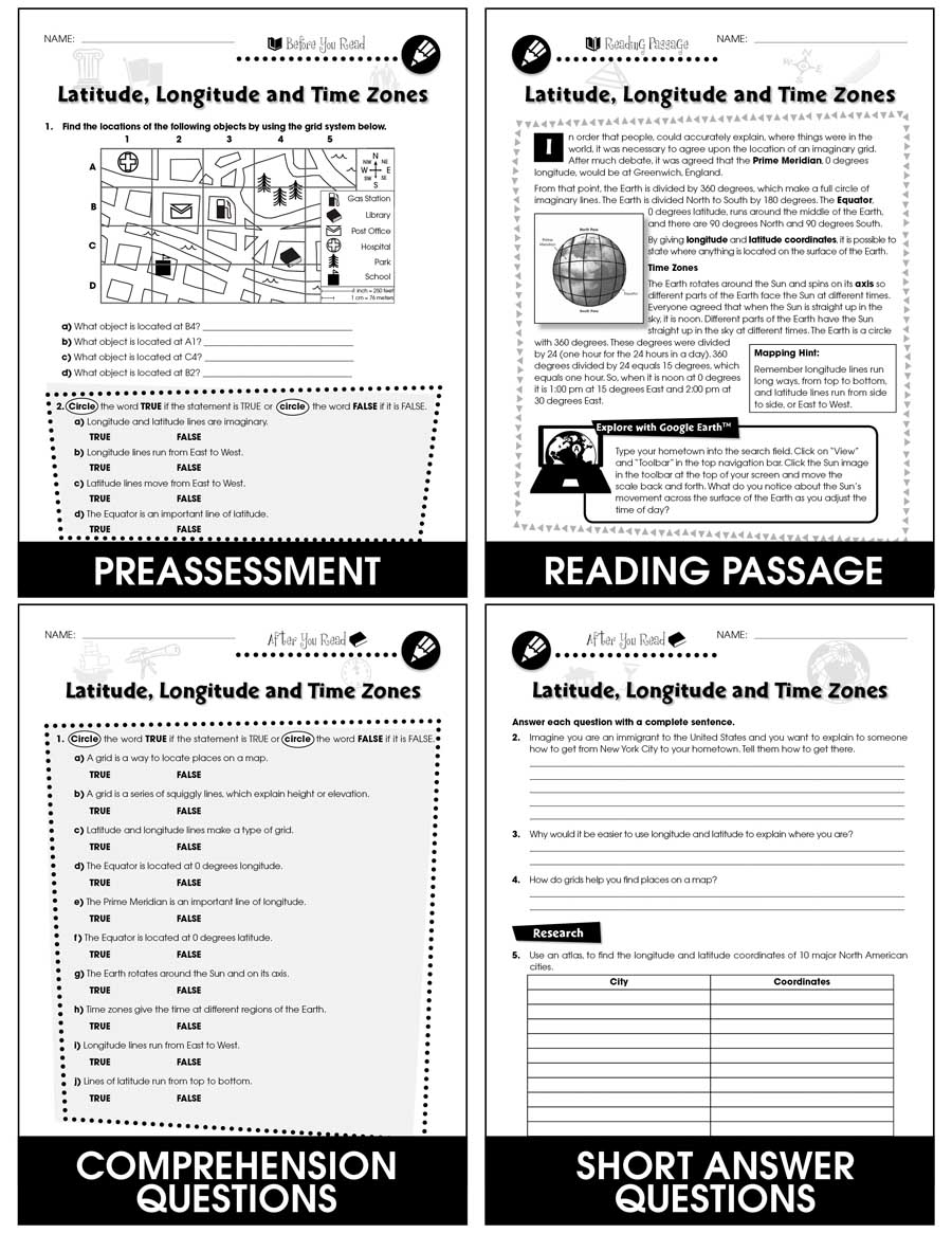
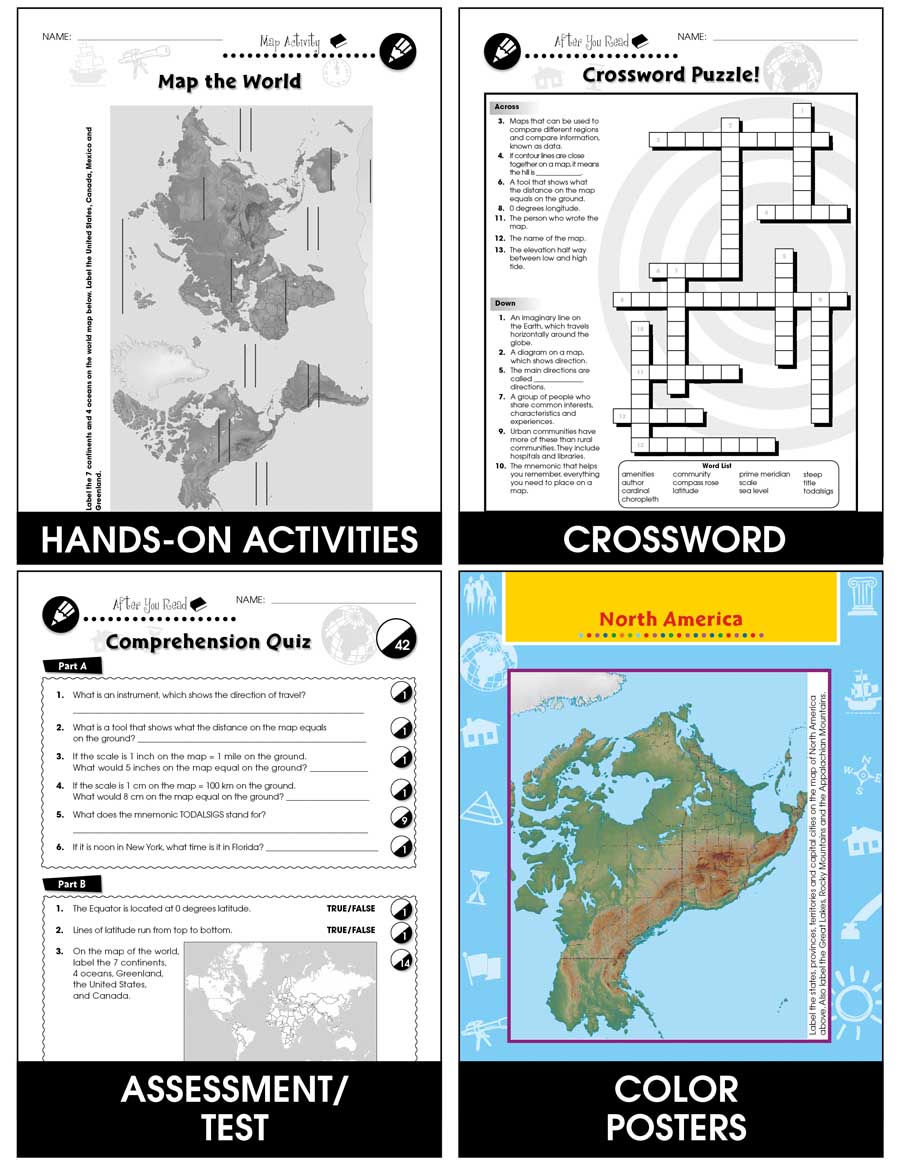
Extend the basic knowledge of map reading to give your elementary students a thorough understanding of maps. Our resource allows students to learn in-depth how to read and create maps. Explore all the elements on a map, such as scale, index, grid system, and surrounding area. Take your understanding of a grid system one step further by examining lines of latitude and longitude. Compare the different times zones found in your country. Learn about topographic maps before exploring steep and gradual elevations in Google Earth. Draw a map of a rural and urban area to see the differences created by cultural features. Compare the climate of different areas of your country before heading to your hometown and examining the weather through Google Earth. Label a map of the world according to temperature, such as tropical, mild, cold, or polar. Aligned to your State Standards and written to Bloom's Taxonomy, additional map activities, crossword, word search, comprehension quiz and answer key are also included.
************************************************************************
View Similar Titles:
► Mapping Skills with Google Earth - Grades PK-2
► Mapping Skills with Google Earth - Grades 6-8
► Mapping Skills with Google Earth - BIG BOOK - Grades PK-8
Product Reviews
Great unit to study with all of our geography skills. The kids love just playing around with Google Earth and this provides them needed direction.
My students love the digital component to these lessons.
Perfect!
Great unit my students thoroughly enjoyed it.
Engaging resource to supplement my geography unit!
Excellent resource!! Thanks for making my teaching easier and more fun! :)
I like the thoroughness! The thing I am struggling with is how to break it up into manageable parts for my students to grasp and connect the concepts.
Well done and appropriate even for fifth graders who need support with reviewing these basics. Thank you.
"Thanks!"
Thanks!


