Chapter Slices >
Grades PK, K, 1, 2 >
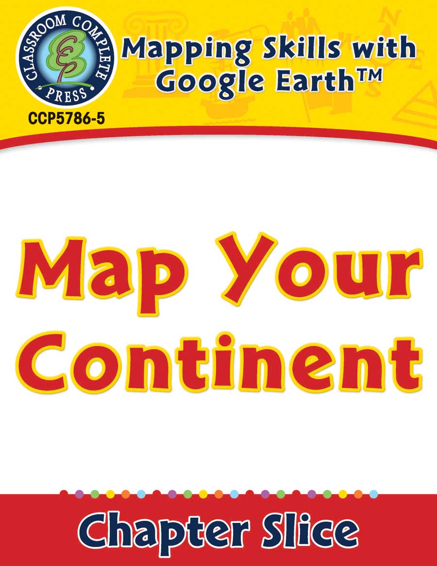
Mapping Skills with Google Earth: Map Your Continent
Mapping Skills with Google Earth: Map Your Continent
Grades PK to 2 - Lesson Plan - Worksheets
Order #: CCP5786-5
ISBN13: 978-1-77167-321-1
Grades: PK, K, 1, 2
Reading Level: PK-2
Total Page: 23
Author: Paul Bramley
Tweet
Description
**This is the chapter slice "Map Your Continent" from the full lesson plan "Mapping Skills with Google Earth"** Teach your students the basics of map reading with our engaging resource designed for students in grades prekindergarten to two. Start with the elements found on a map, such as symbols, legends and the compass rose. Then, have your students apply what they�ve learned by mapping their classroom and route to school. Move on to the Great Lakes of North America and the seven continents and four oceans of the world. Our resource gives students the necessary building blocks to continue with the study of mapping skills. Comprised of reading passages, map activities, crossword, word search and comprehension quiz, our resource incorporates curriculum-based lessons with Google Earth� so students can further understand the basics of map reading with the help of visual and interactive technology. All of our content meets the Common Core State Standards and are written to Bloom's Taxonomy.
Product Reviews
kathy long
Very accurate and informative.
KSL874
Great way to bring technology into lesson!


